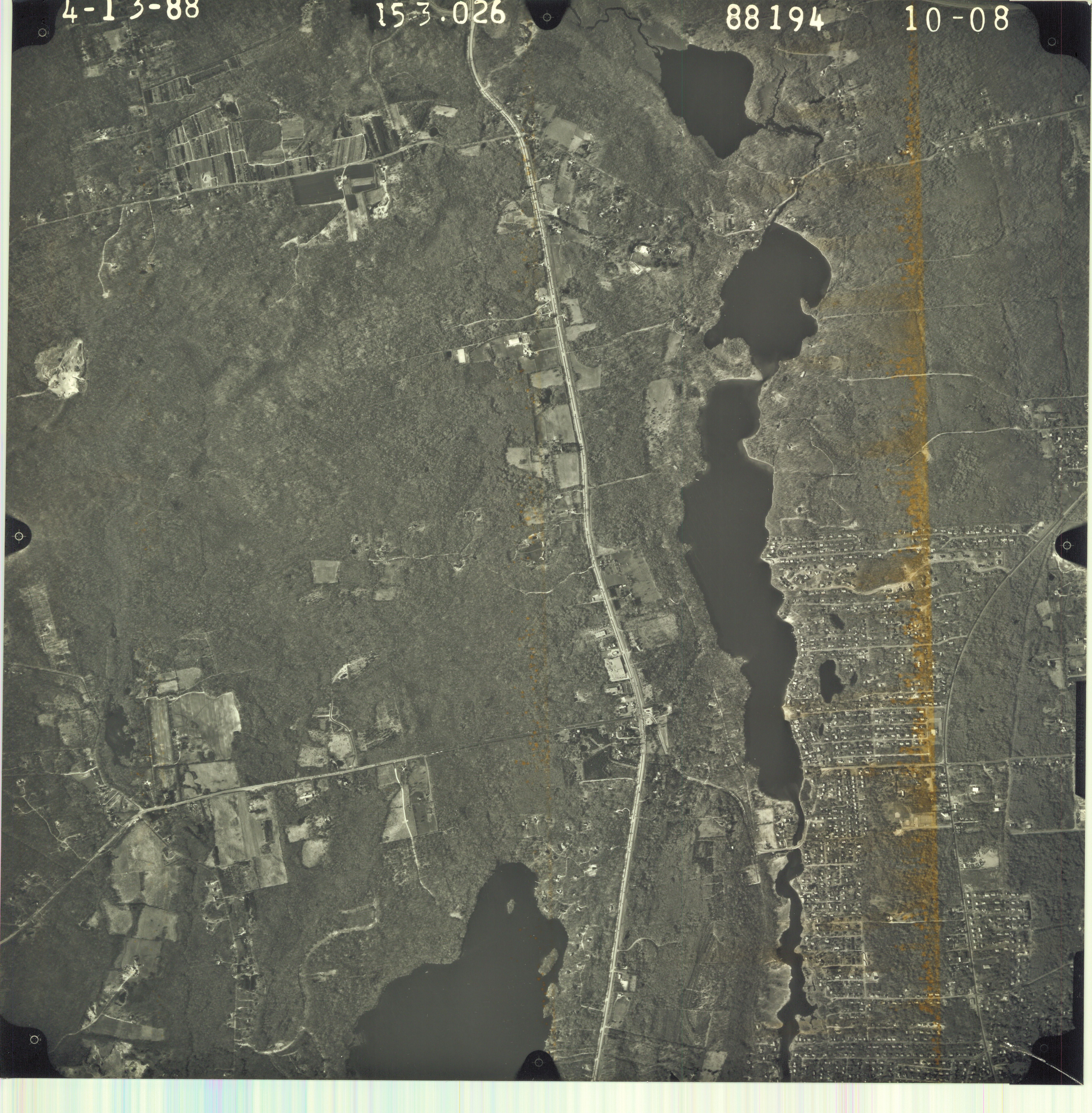
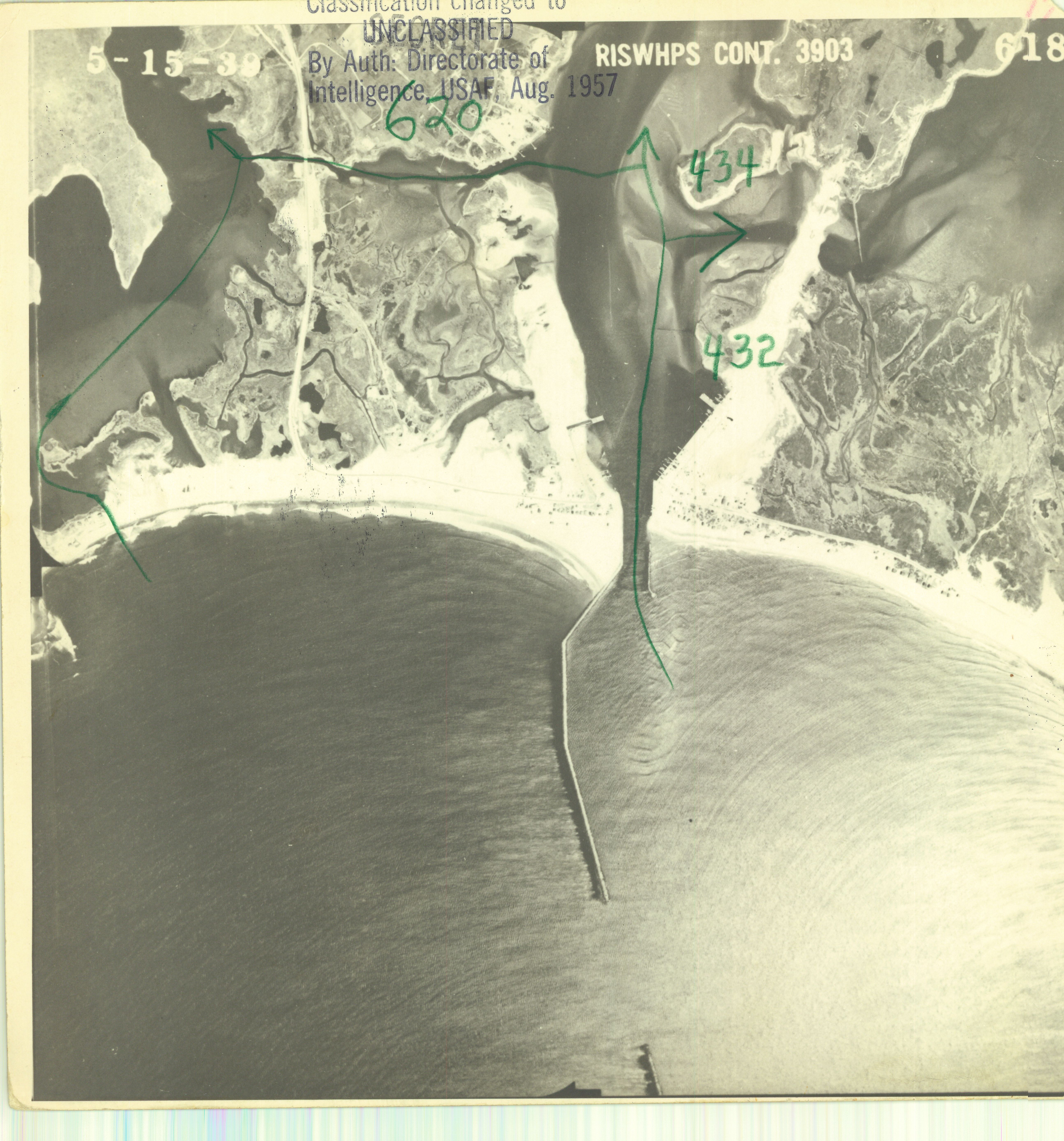
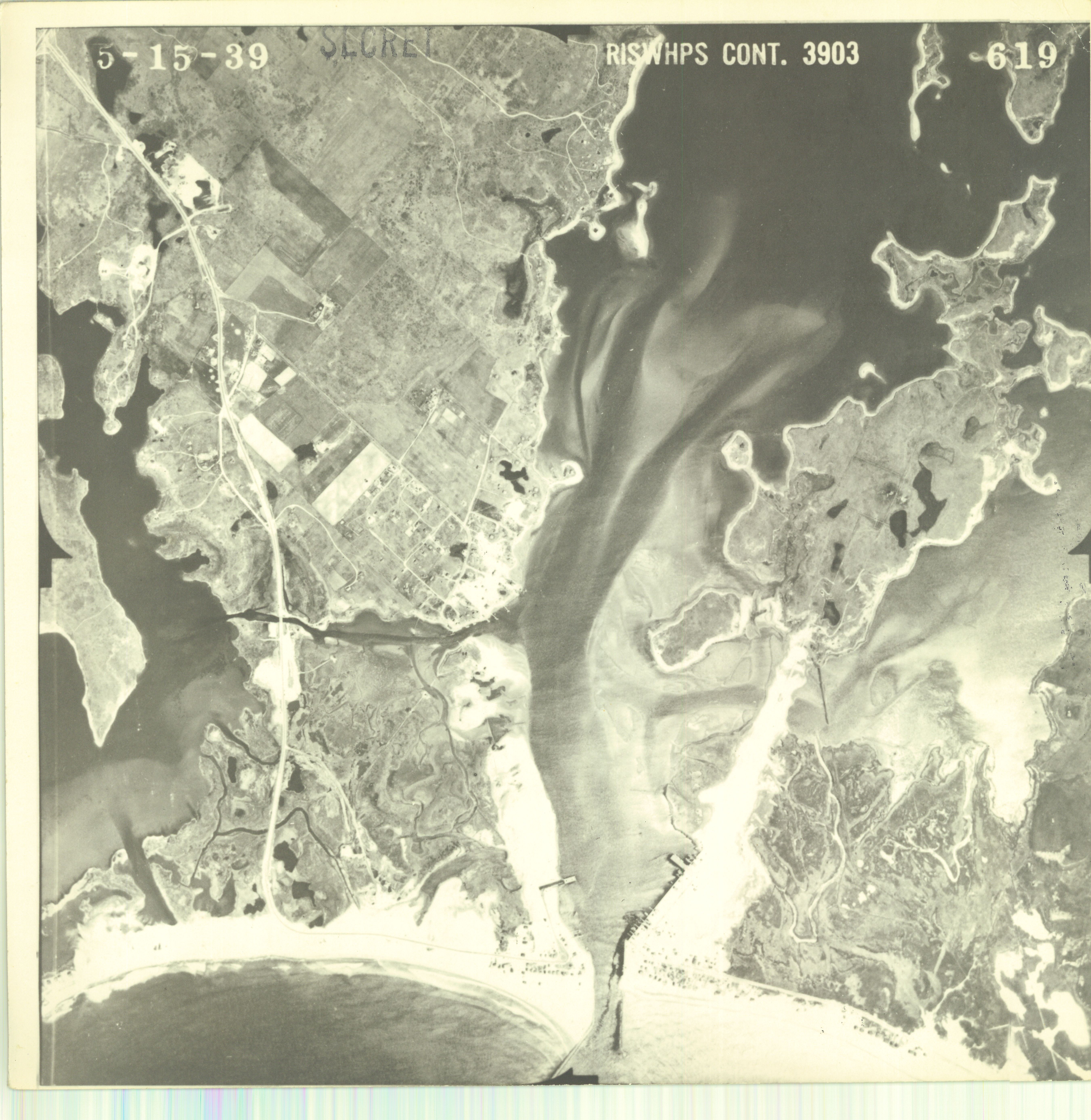
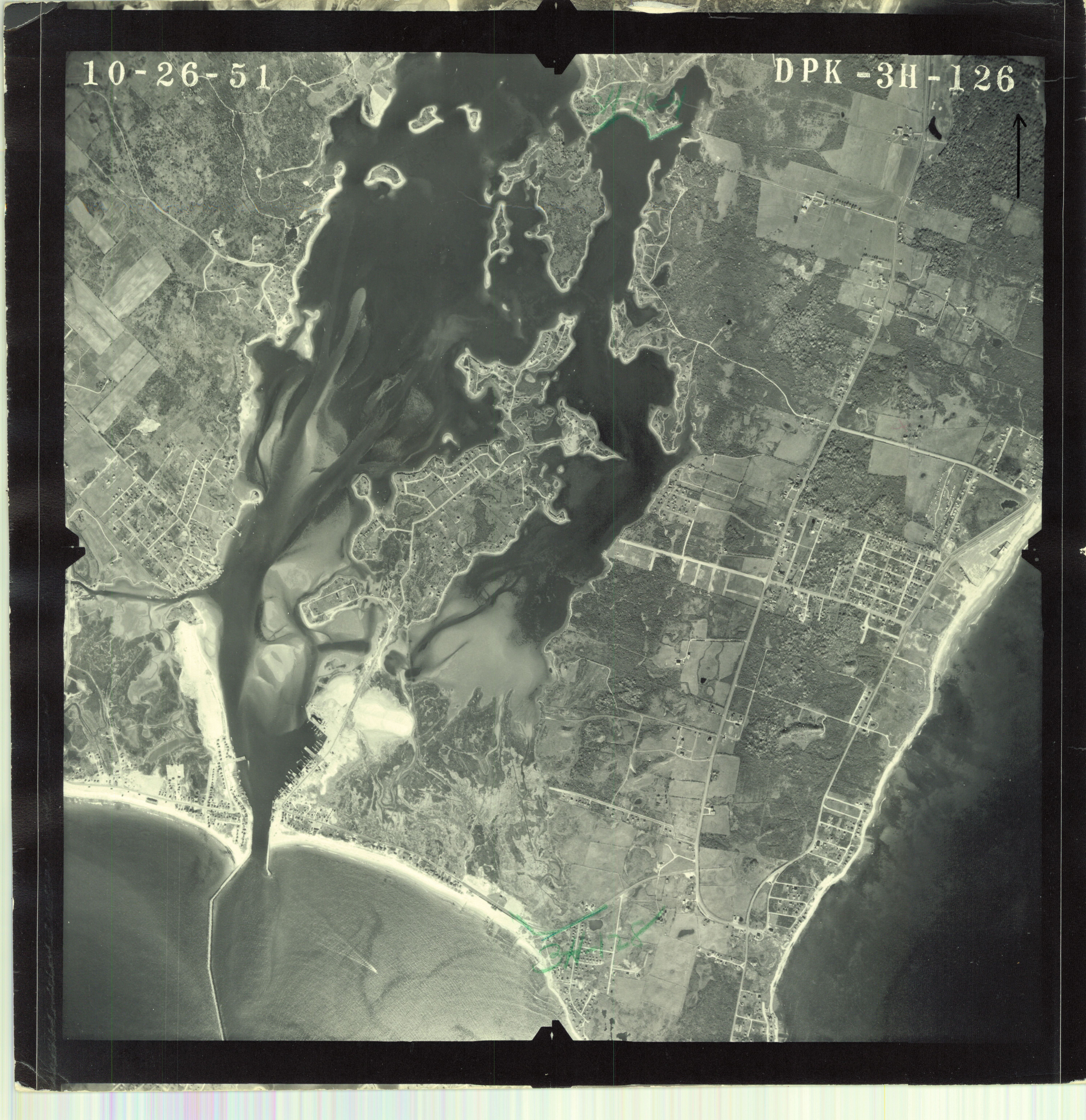
Division of Statewide Planning Maps and Aerials 600 dpi
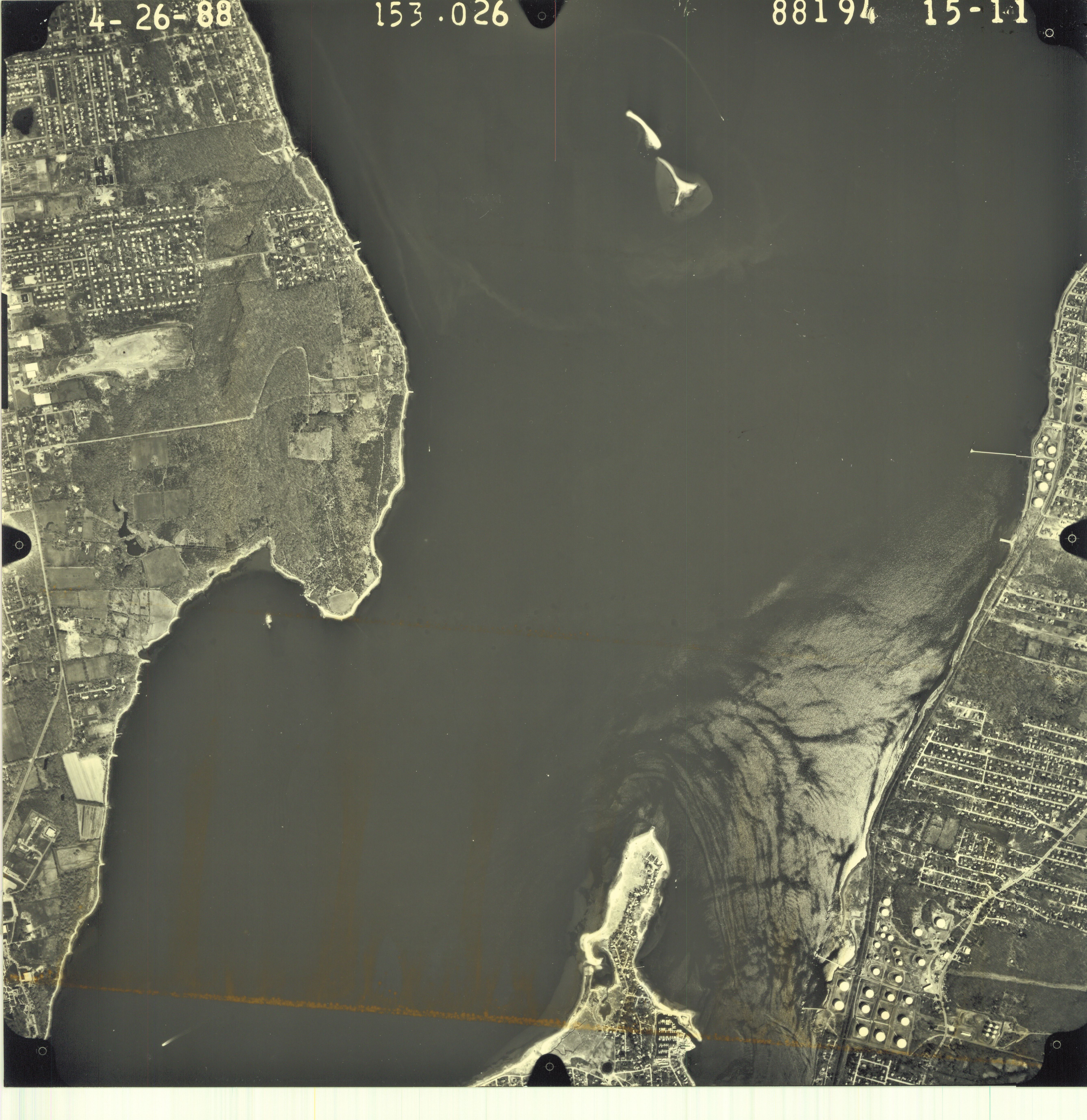
Portsmouth
Boston Neck Road
.jpg)
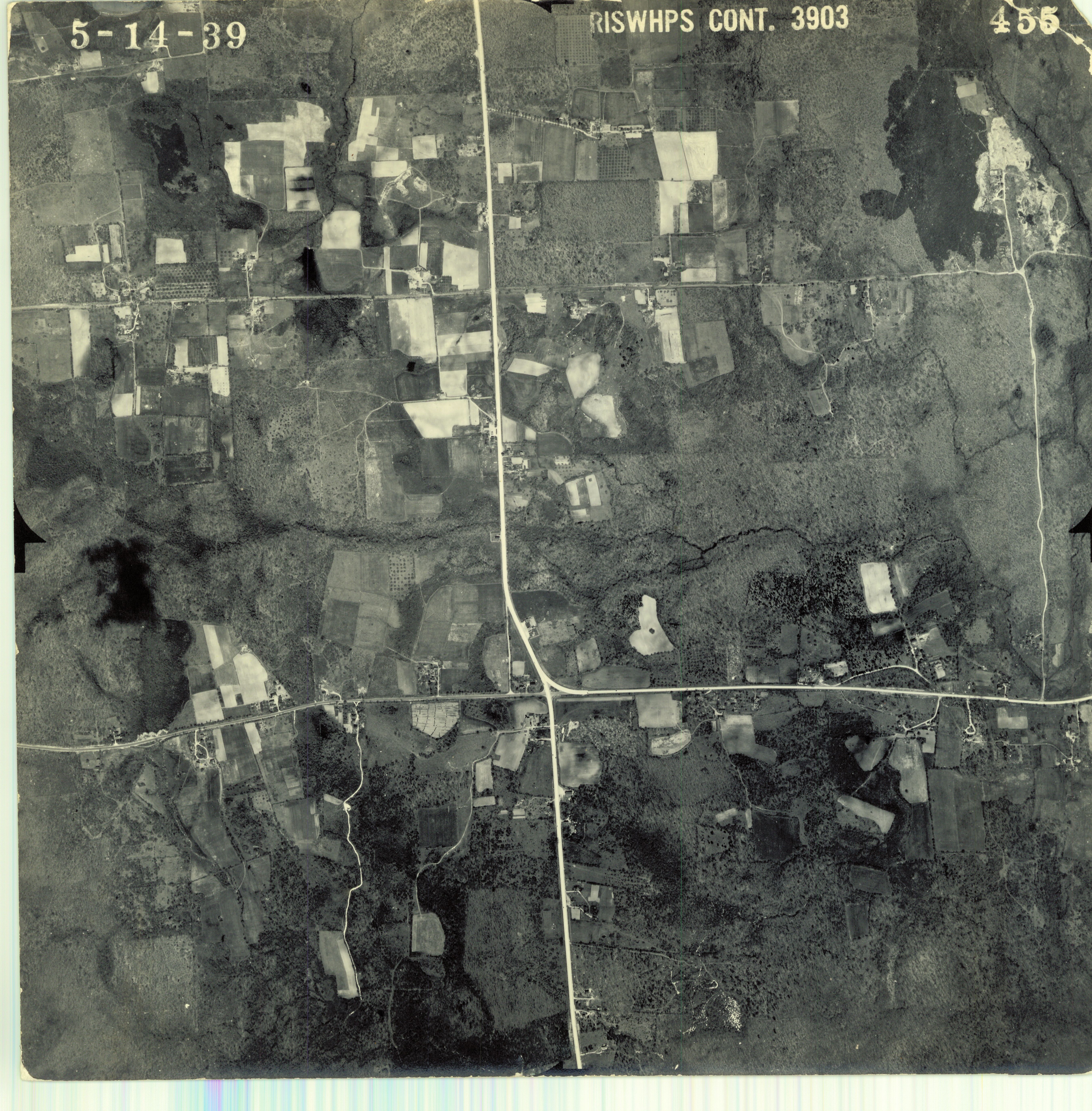
Narragansett
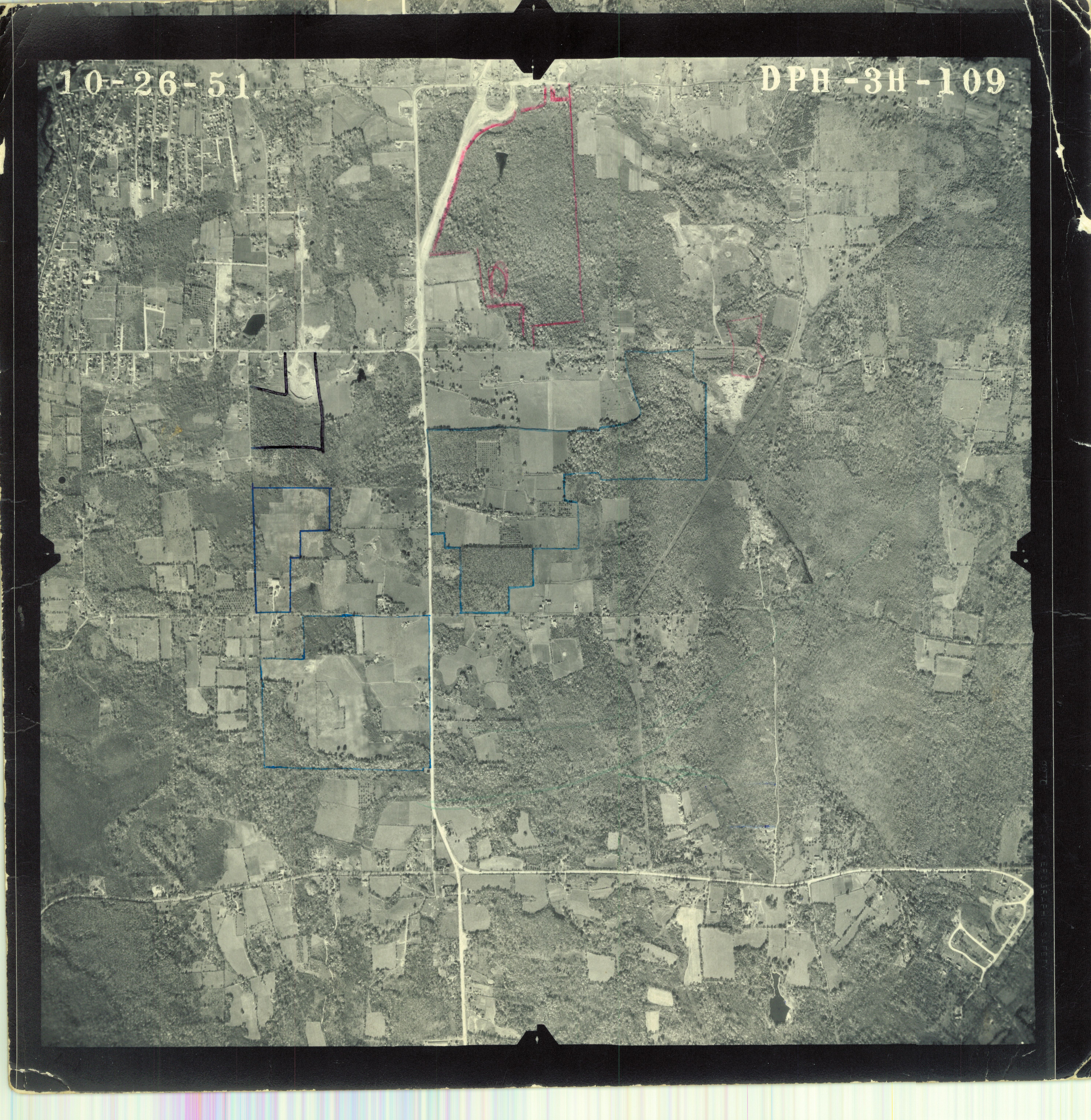
Middletown
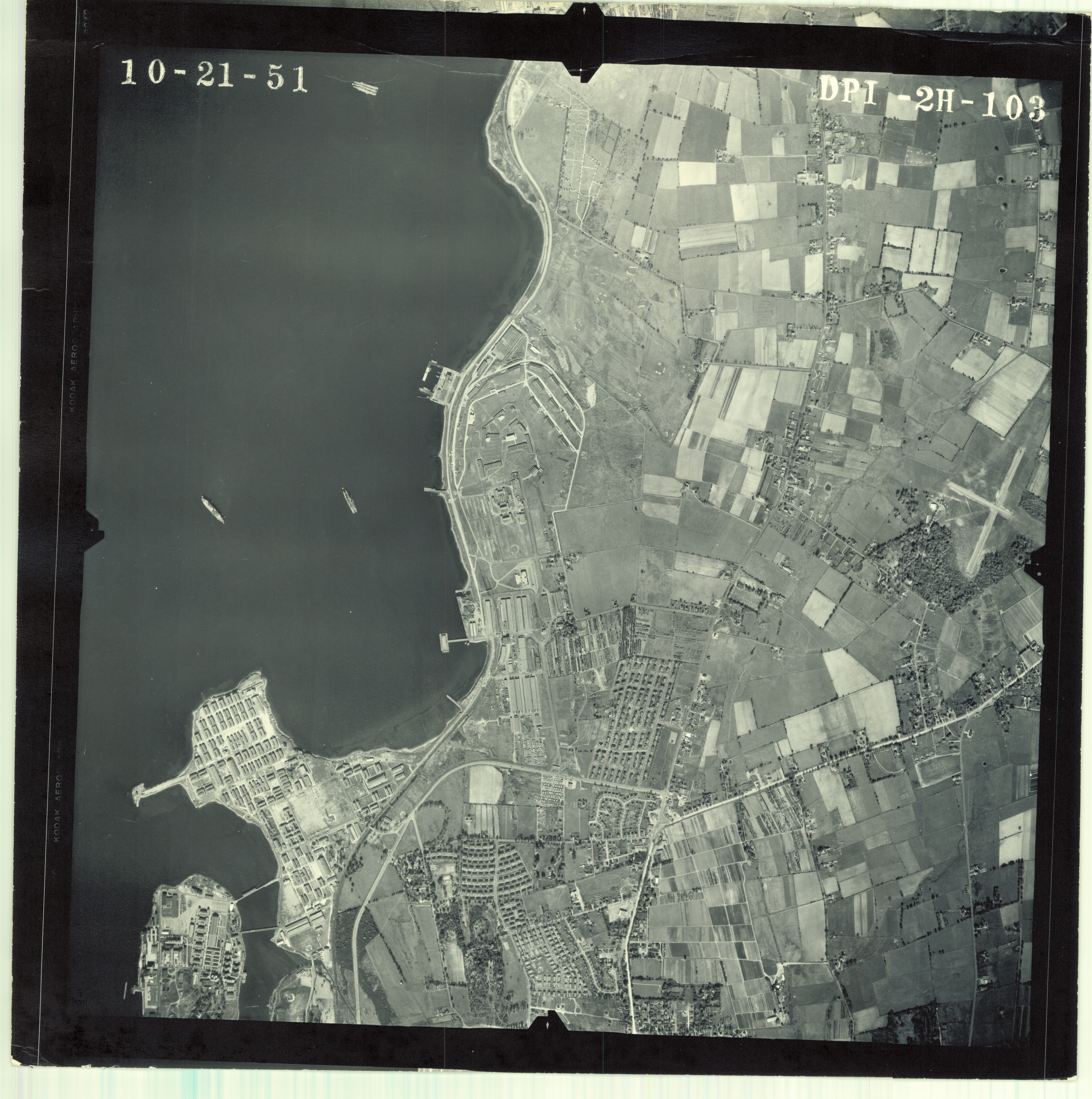
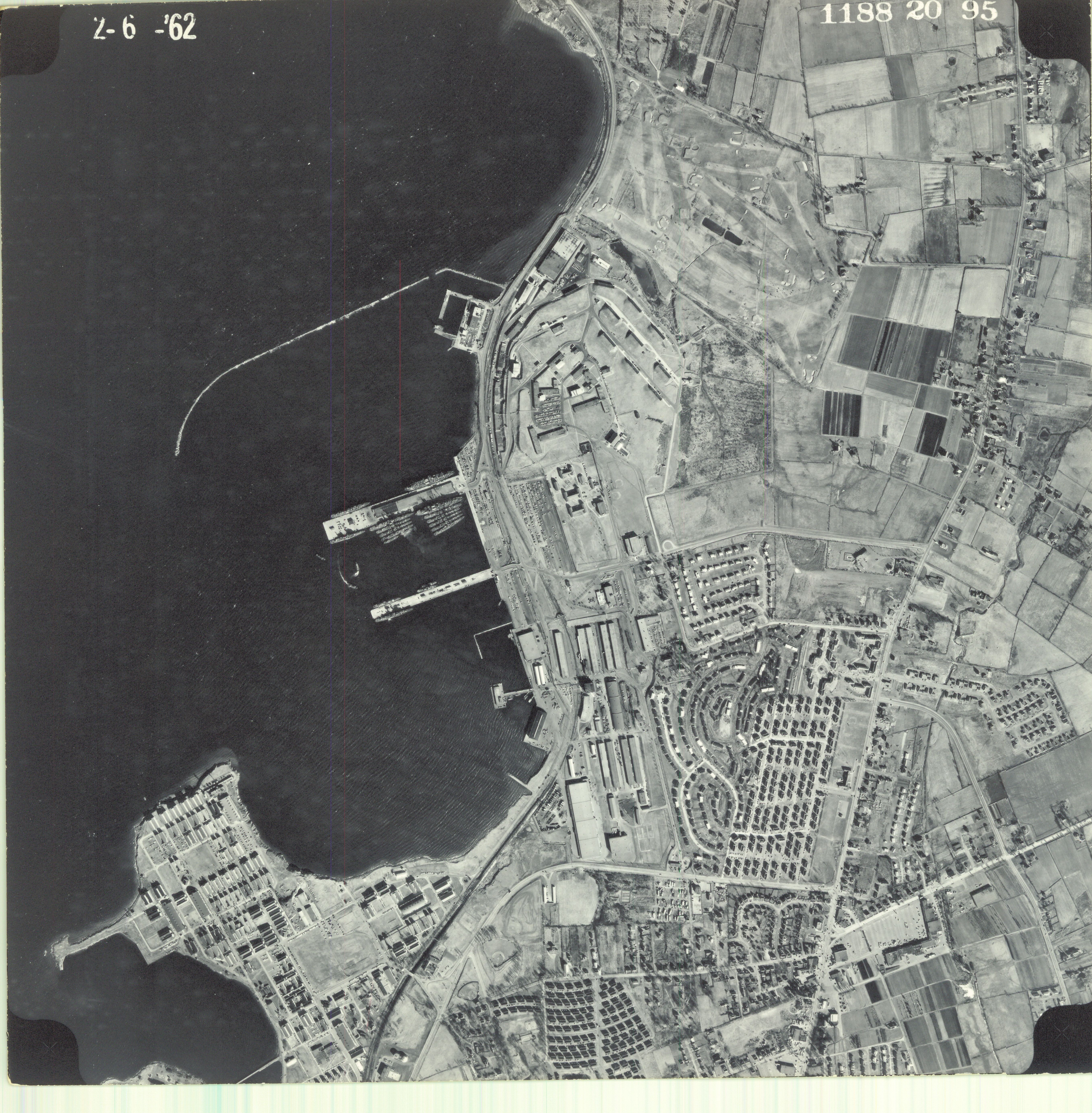
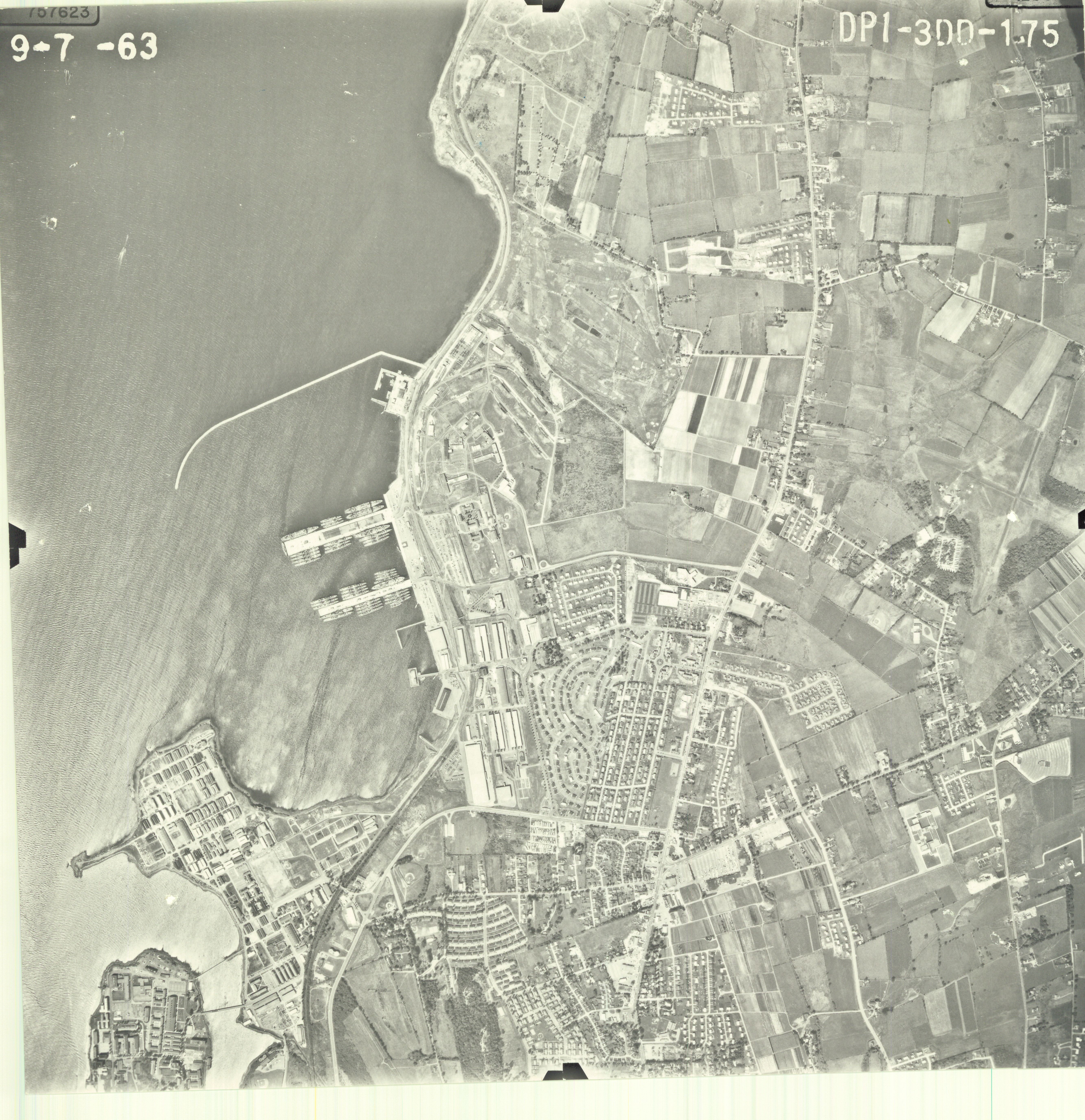
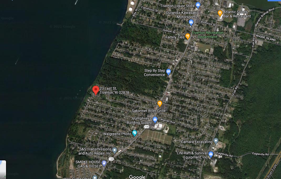
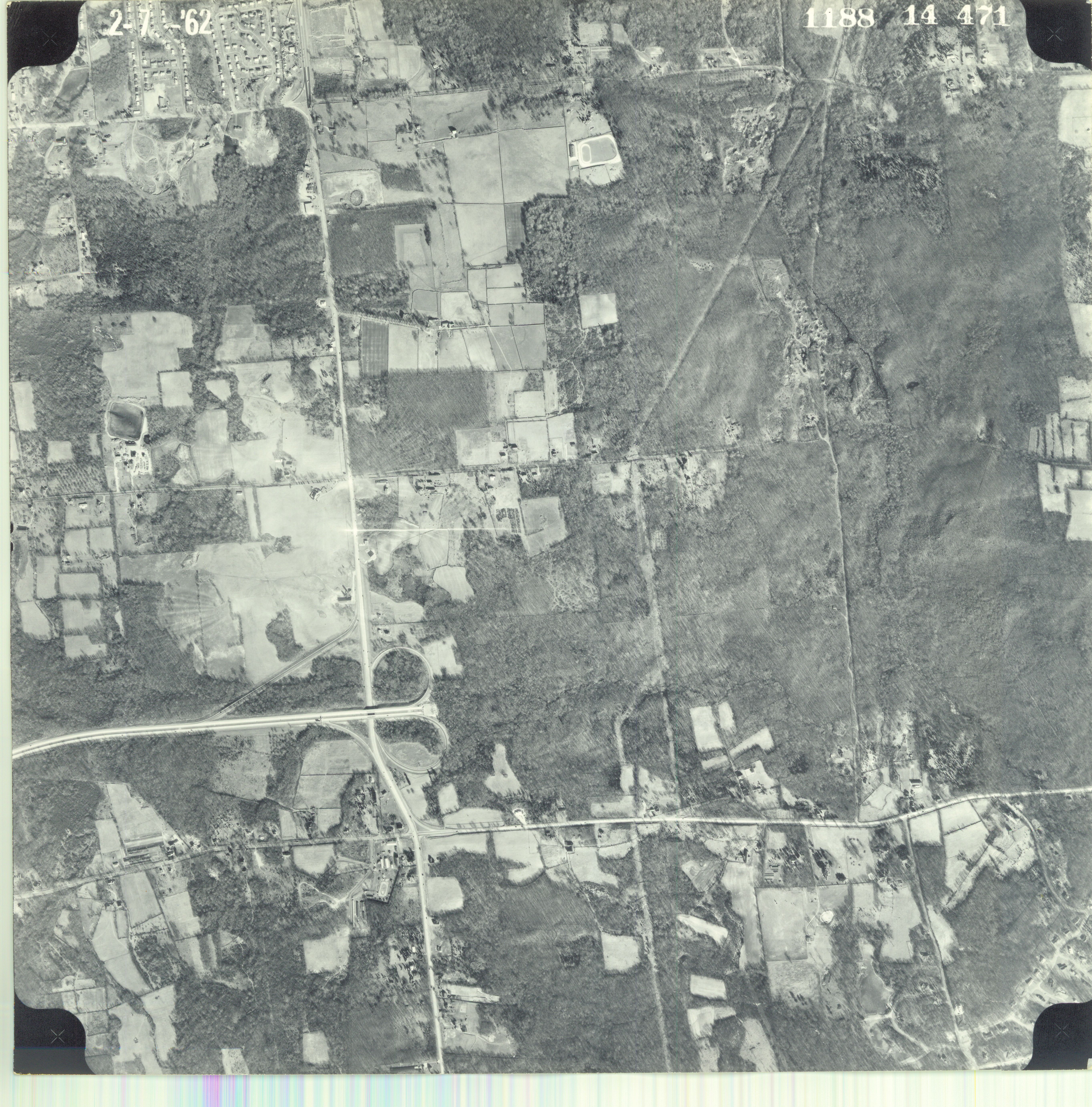
Tiverton
East Greenwich
Johnston
Little Compton
New Shoreham
Report of the Southeastern New England Study: (1975)
A Strategy for Balanced Development and Protection of Water and Related Land Resources in Eastern Massachusetts and Rhode Island (1975)
Maps